chameleon wrote:Many church spires and towers were frequently ustilised as triangulation points ( largely superseded by GPS of course), those used for this are noted on OS maps and all have a bench mark at ground level.
A good example of a church tower used as a triangulation point and indicated with a BM [whcih was not used as a leveling line BM] and which also has a BM is St John's Church, Briggate.
The tower has a flush bracket plate for the leveling - this is the only flush bracket I've found in Leeds while the trig is indicated by a cut benchmark in the boundary wall on Briggate. The BM is beside and below the blue plaque and I've tried to photograph it twice but its proximity to the bus stop means that it always seems to have somebody leaning against it!

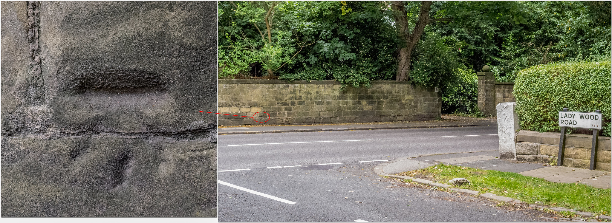
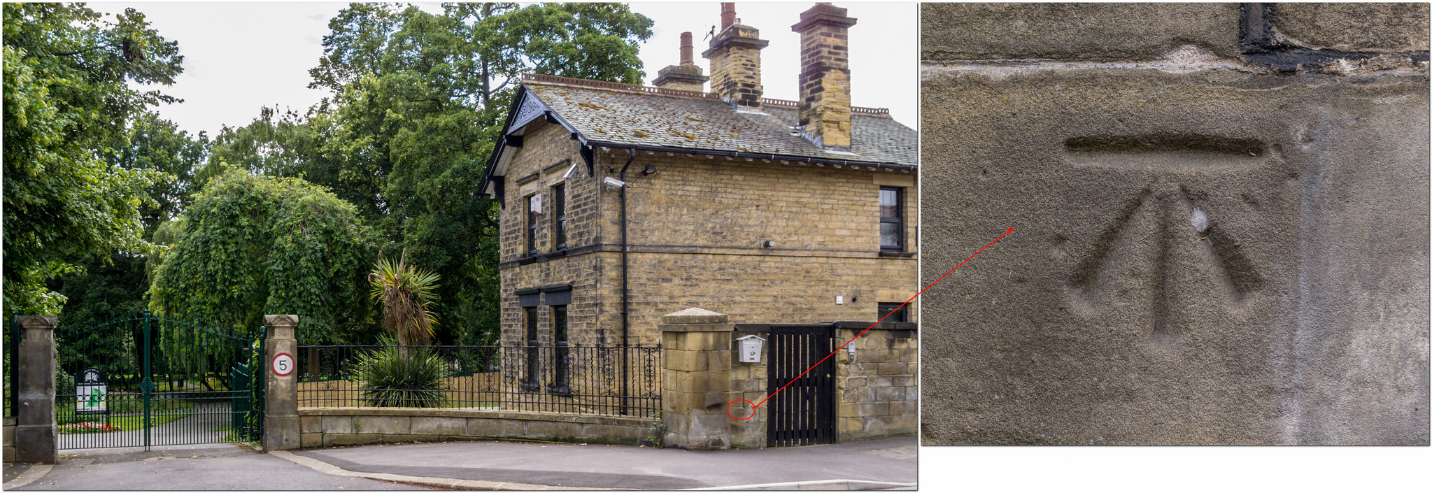
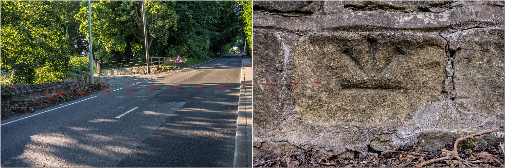
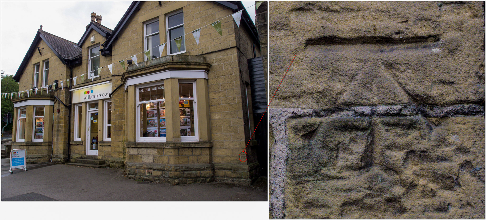 CUT BENCH MARK